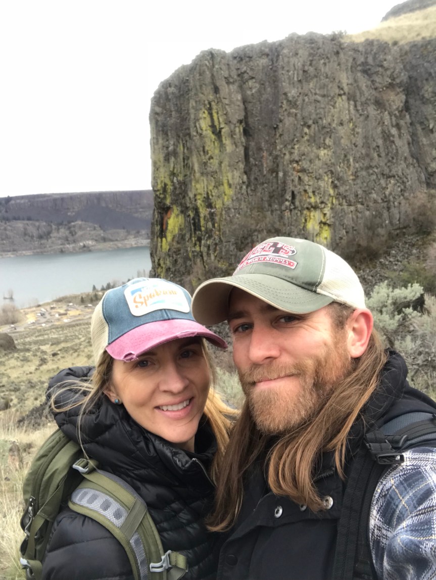
So, I’ve been using the Washington Trails Association App called Trailblazer, and have been loving it! You can pull up a map of the area you want to explore and find a hike that interests you. Its been great as we usually have an idea of how far we want to drive based on the time we have. The app gives a great description of the hike as well as how to get there! So when we wanted to go to the Grand Coulee area, we (ahem… Dan) found the Steamboat Rock hike! I thought the hike was called this based on the shape of the rock, but a co-worker told me the wind actually will bellow between the rocks and create a steamboat horn sound, unfortunately we didn’t get to hear this while we were there.

The drive took about 2 hours. We headed West from Spokane on Highway 2 and continued through Reardan and Davenport, then we took the exit at Wilbur and continued to Electric City to the trailhead (directions are easy to find online).
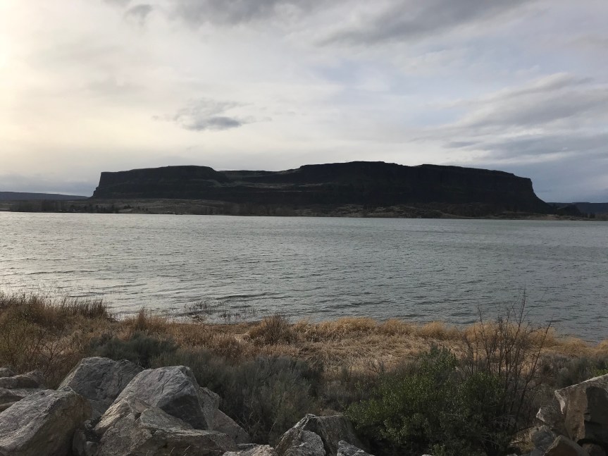
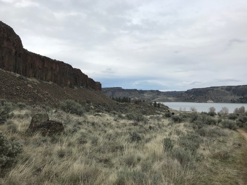
It was a very vertical rocky hike to the top, but the views were worth it!


This guy made it look easy!


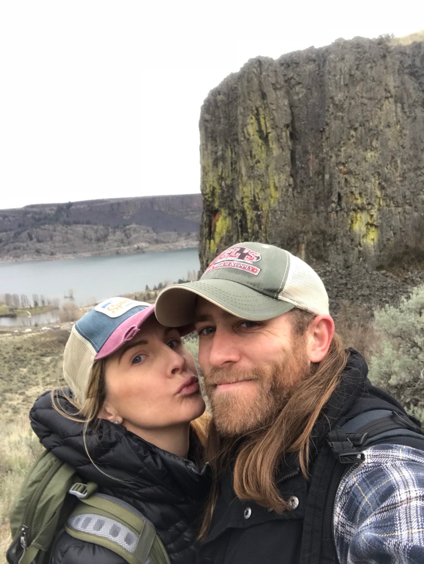
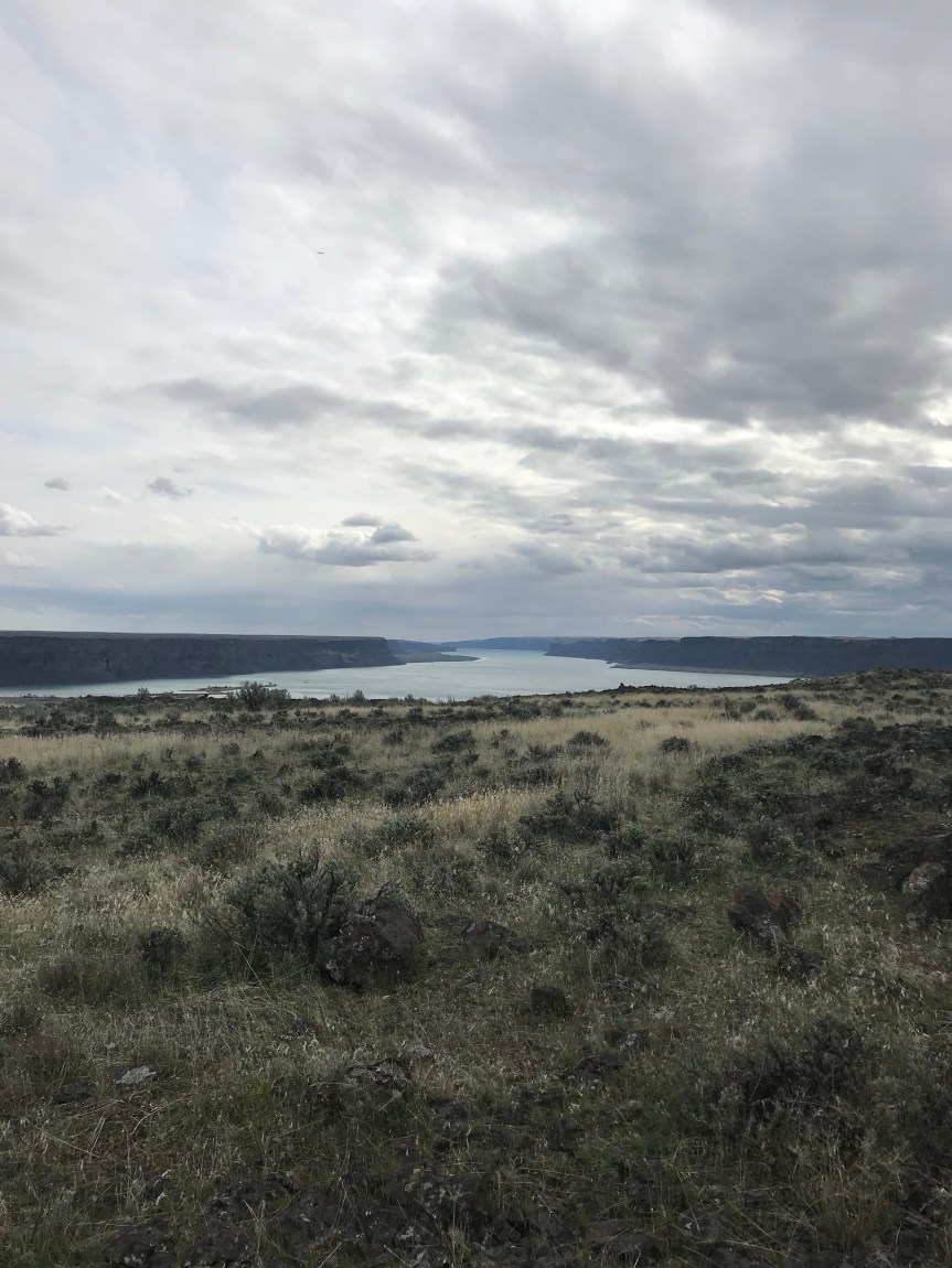
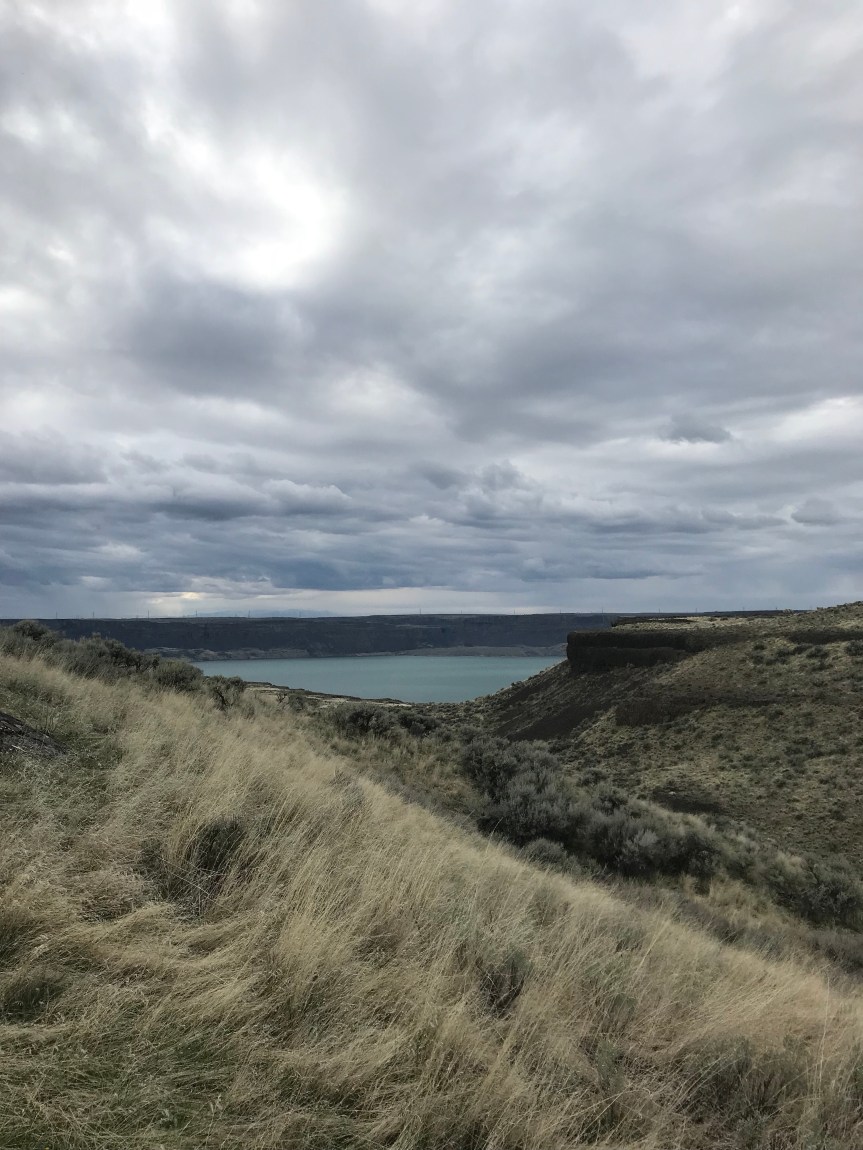
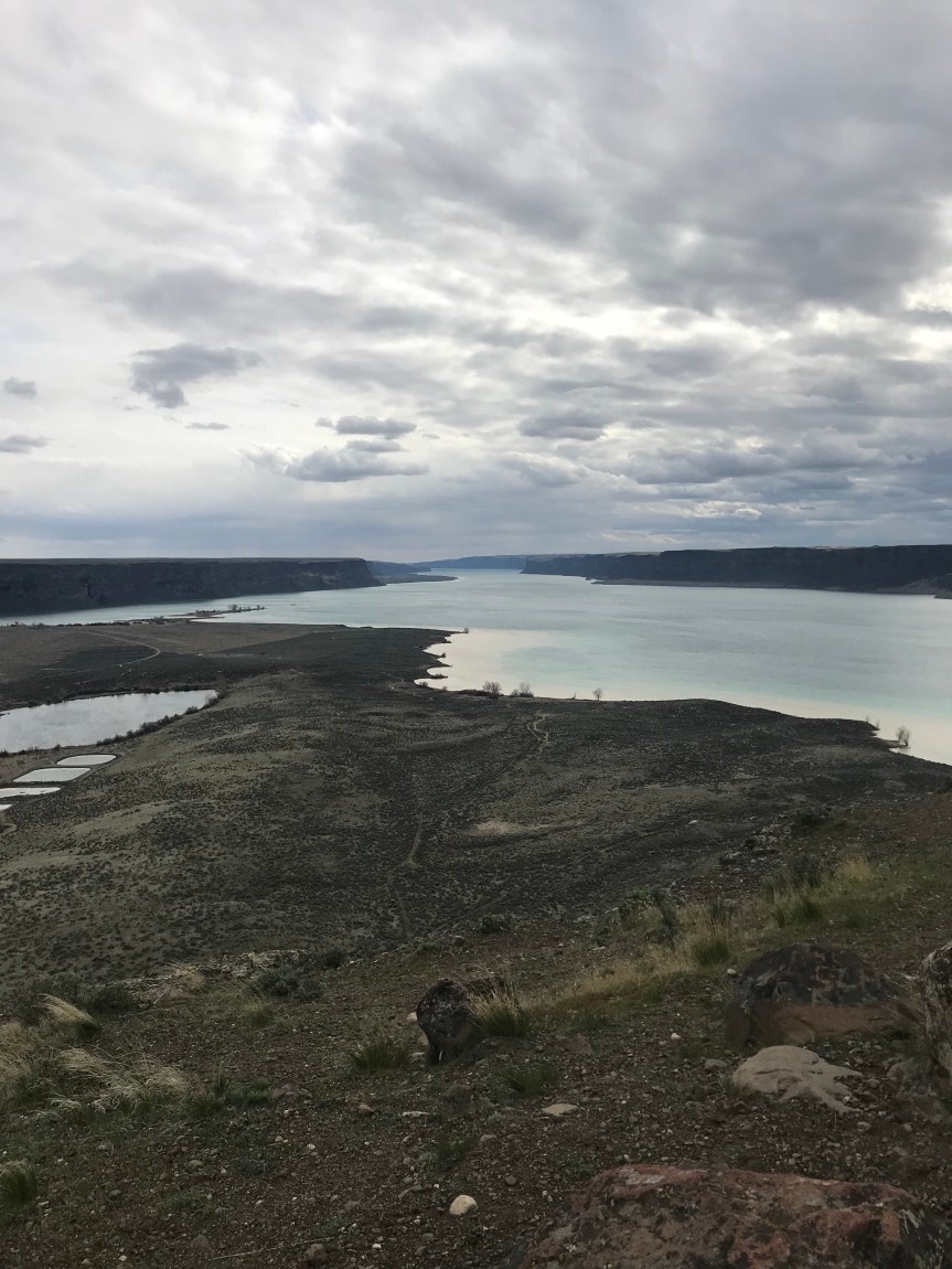
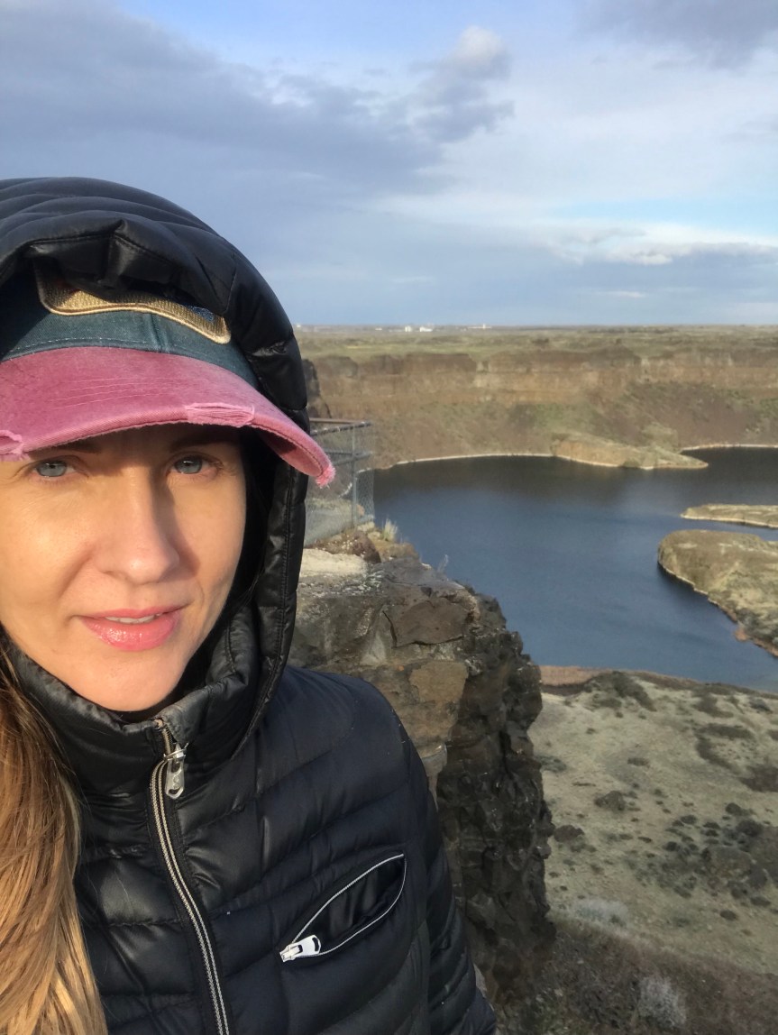
The views were amazing at the top, there was an insane cliff on every side, you can hardly tell in the photos where the cliff ends and the ground at the bottom begins.
 The geological history of the area is intriguing to say the least. The Ice Age floods thousands of years ago carved out this canyon when a huge ice dam broke. I had to rent the movie on these floods at the library, so interesting to me! Steamboat rock is made of basalt, and there is a huge granite rock at the top. Its crazy to think about the amount of water and how powerful a force there must have been to transport this huge rock here!


Here are a few more photos, just because it was THAT beautiful!

Dry Falls
About 20 minutes further on the same road was Dry Falls. Dan had been there and wanted to show me! Although there is no water there flowing over the cliffs, at one point this waterfall was bigger than Niagra Falls. It is about 3 and 1/2 miles long and was once the largest waterfall on earth! Now its a cool view right off the side of the highway with a visitor center and an ice cream shop 🙂
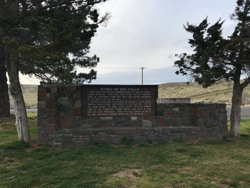


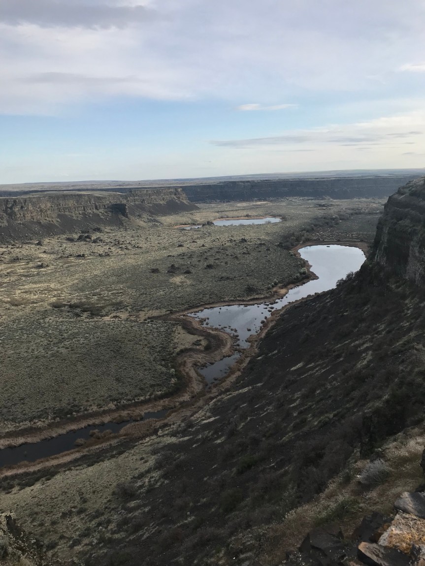
Well worth the 20 minutes of extra driving to get there!

